Significantly more accurate seabed temperature, currents and plankton
The ocean doesn't behave the same everywhere — yet until now, a single global model had to cover all of it. Today we're launching hyperlocal ocean models, trained region by region to be far more accurate in the waters that matter most to you.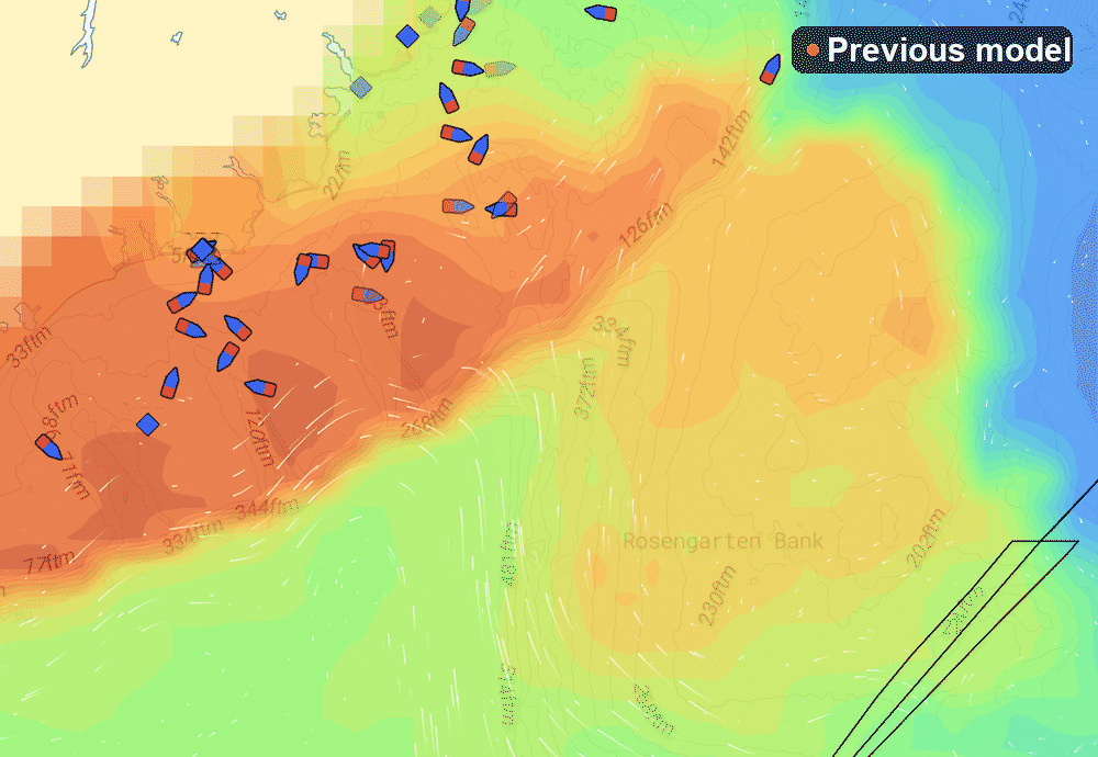
June 4, 2026 · Written by
Tomas Roaldsnes
Kristian Andersen Hole
Jonas Dammen
Åsmund Brekke
Key takeaways
🌊 New hyperlocal models for seabed temperature, currents and plankton
📍 Three regions live: Arctic, North West Shelf and South West Europe
🎯 Sharper detail exactly where the old global model fell short
Why local beats global
Global ocean models smooth over a lot. Near the coast, over banks, and along steep slopes, that smoothing hides the very gradients you're hunting for. Our hyperlocal models are trained area by area, so the data stays sharp where it counts.
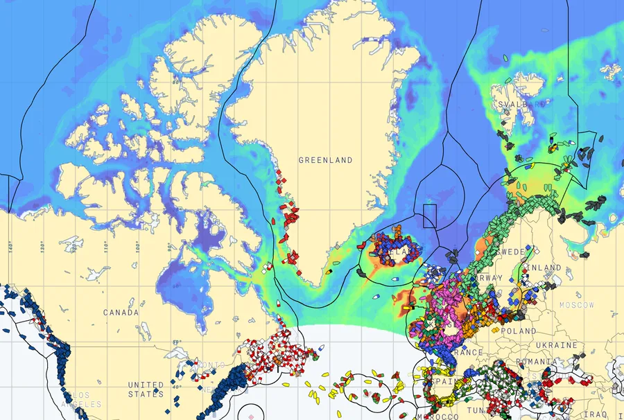
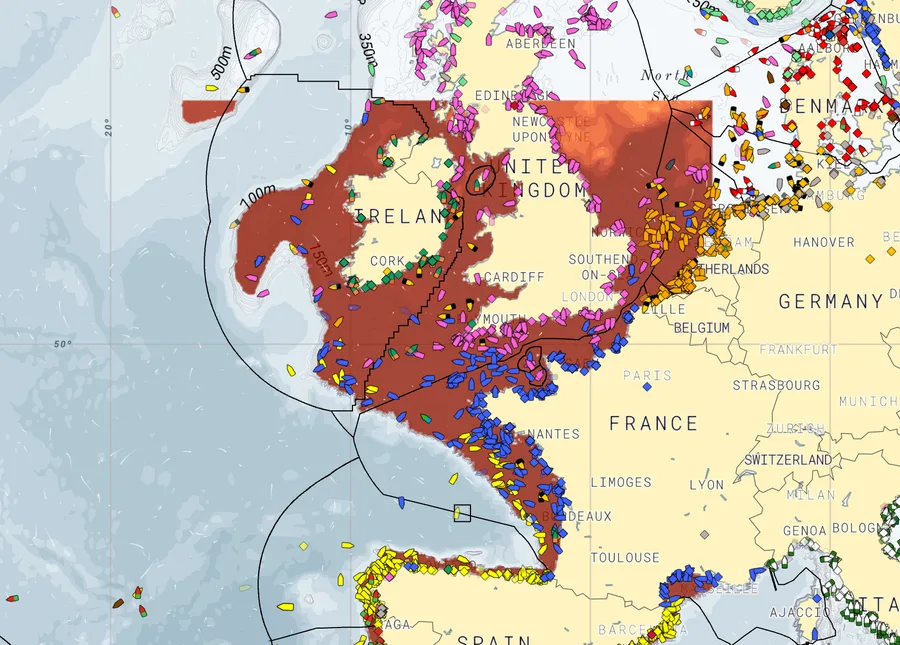
Three regions, more on the way
At launch, hyperlocal coverage spans three regions:
Arctic
Best in Nordic waters and the Barents Sea.
North West Shelf
Best around the North Sea and the Norwegian coast.
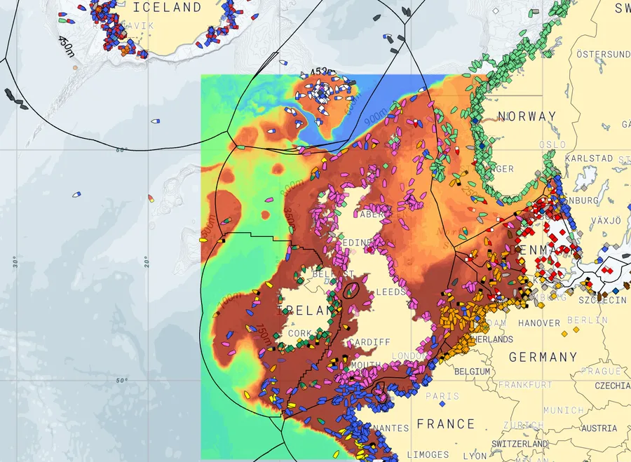
South West Europe
Best around Ireland, the UK and the Bay of Biscay.
Outside these areas Catchwise falls back to the global model, so you always have data — anywhere you fish.
How to switch models
On most layers you can now pick your model under "Region / Model" in the layer settings. If a regional model covers your area, use it. Otherwise, stick with Global.
Built with skippers
Like everything in Catchwise, these models are shaped by the skippers who fish with them every day. Thank you for helping us build tools you can trust on the water.
Try Catchwise
Try Catchwise on your next trip! Click the button below to get started. No credit card required.
Get started