Spend more time fishing, less time searching.
Catchwise puts catch, AIS and ocean data in one map so you search less, find the right fish and earn more.
Built with fishers, for fishers
Fast payback: most vessels earn back Catchwise in the first month.
150+ skippers
use Catchwise at sea
5.0 / 5.0 stars
in the App Store
60+ companies
have switched to Catchwise
14
day free trial
No commitment
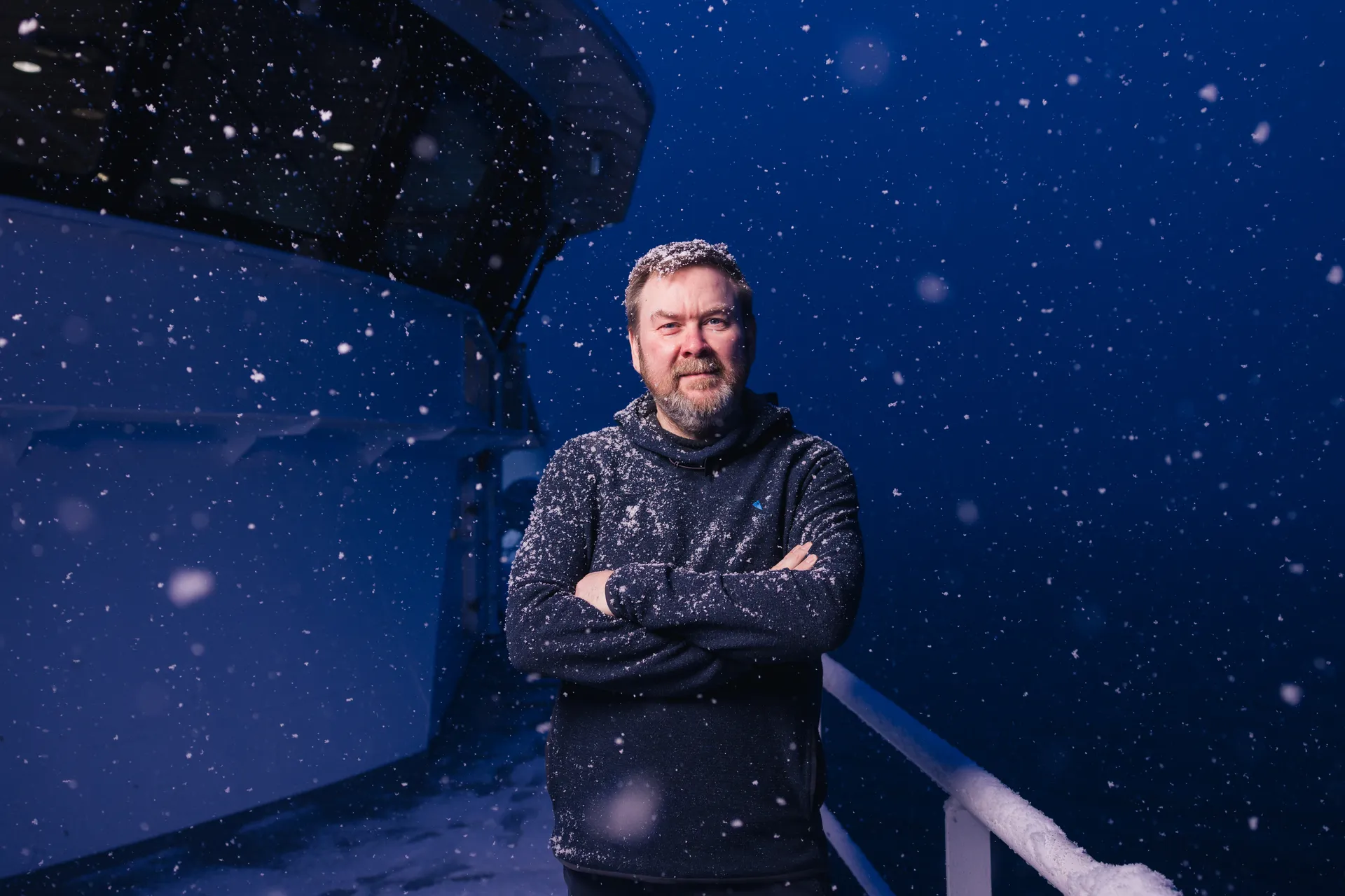
We always try to be early adopters of technology that works and makes us better. The smart heads at Catchwise are building something we're confident will become the industry standard
Åsmund Breivik
Skipper on Hermes
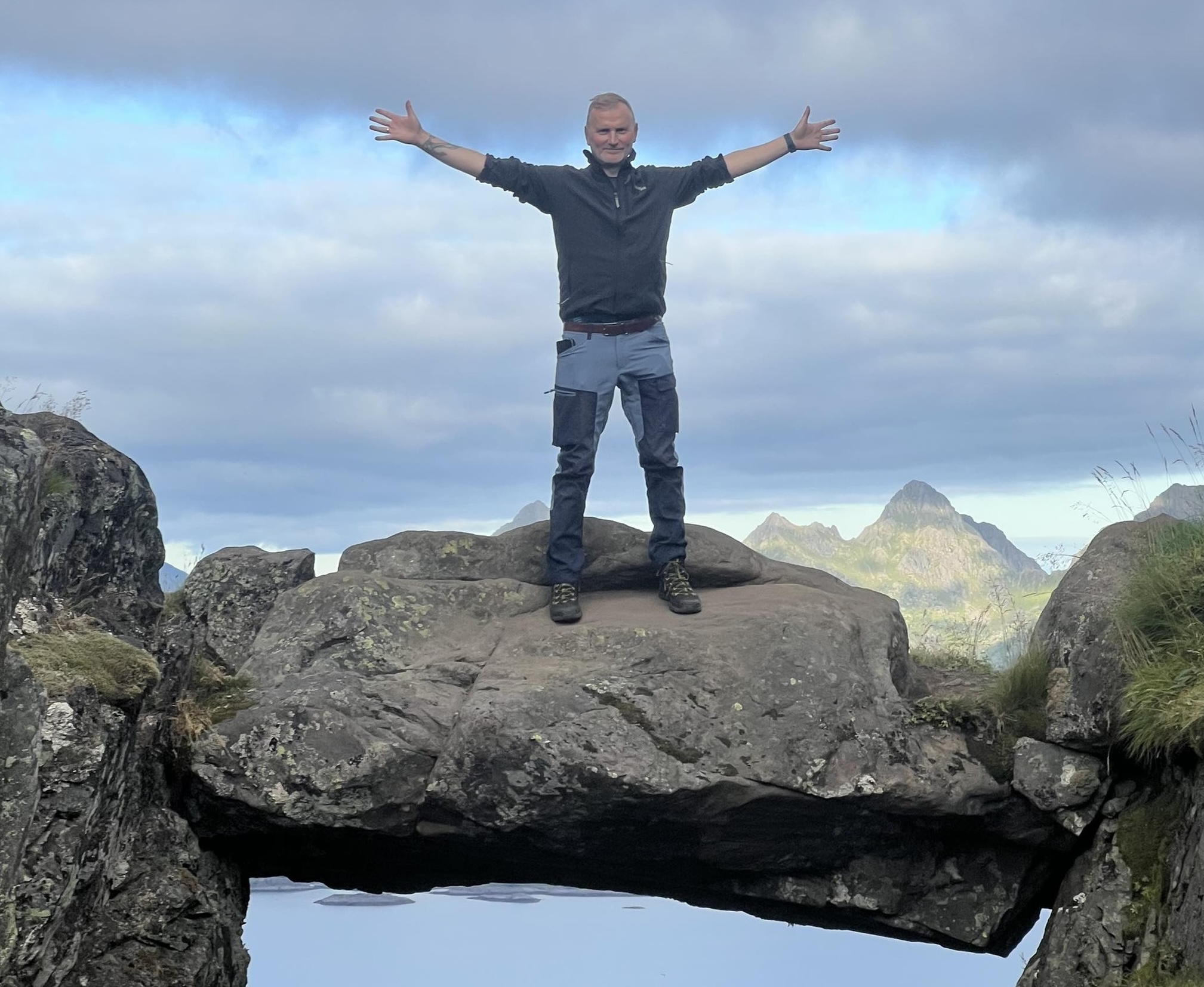
Very good, especially useful for younger skippers I imagine. Very practical to be able to check bottom temperature in the areas you plan to fish.
Stian Skjong
Skipper on Kongsfjord
Less uncertainty. Better margins.
As a skipper, there's a lot to keep track of. Catchwise gathers the key information so you can focus on fishing and running a good trip.
Better overview
Catchwise shows catch conditions, fishing activity and weather forecasts in one view. You get the overview you need – without jumping between different sources.
Safer decisions
Catchwise helps you compare options, find patterns and avoid wasted trips. You fish with data backing you up – not just gut feeling.
Experience + data = better fishing
Catchwise is made for skippers who know the business. You get insights that build on your own evaluations – not replace them.
What you see in Catchwise
All your key fishing data in one map – built for commercial fisheries.
Never miss a fishing opportunity again
Premium AIS and tracking from multiple satellite networks
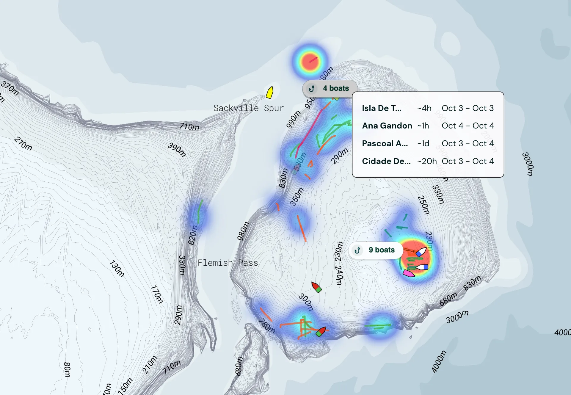
See hotspots where vessels have fished extensively.
See where good fishing has occurred in the past.
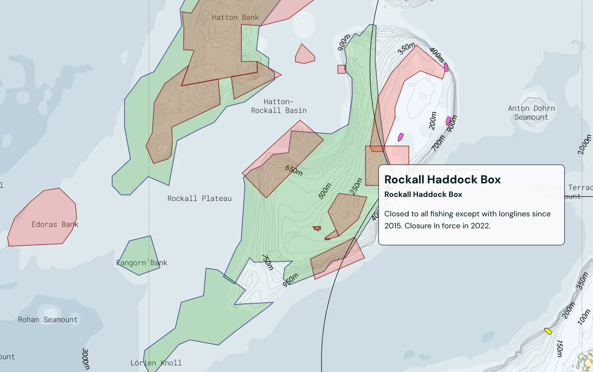
Avoid closed areas and fines
Search fishing regulations with AI.
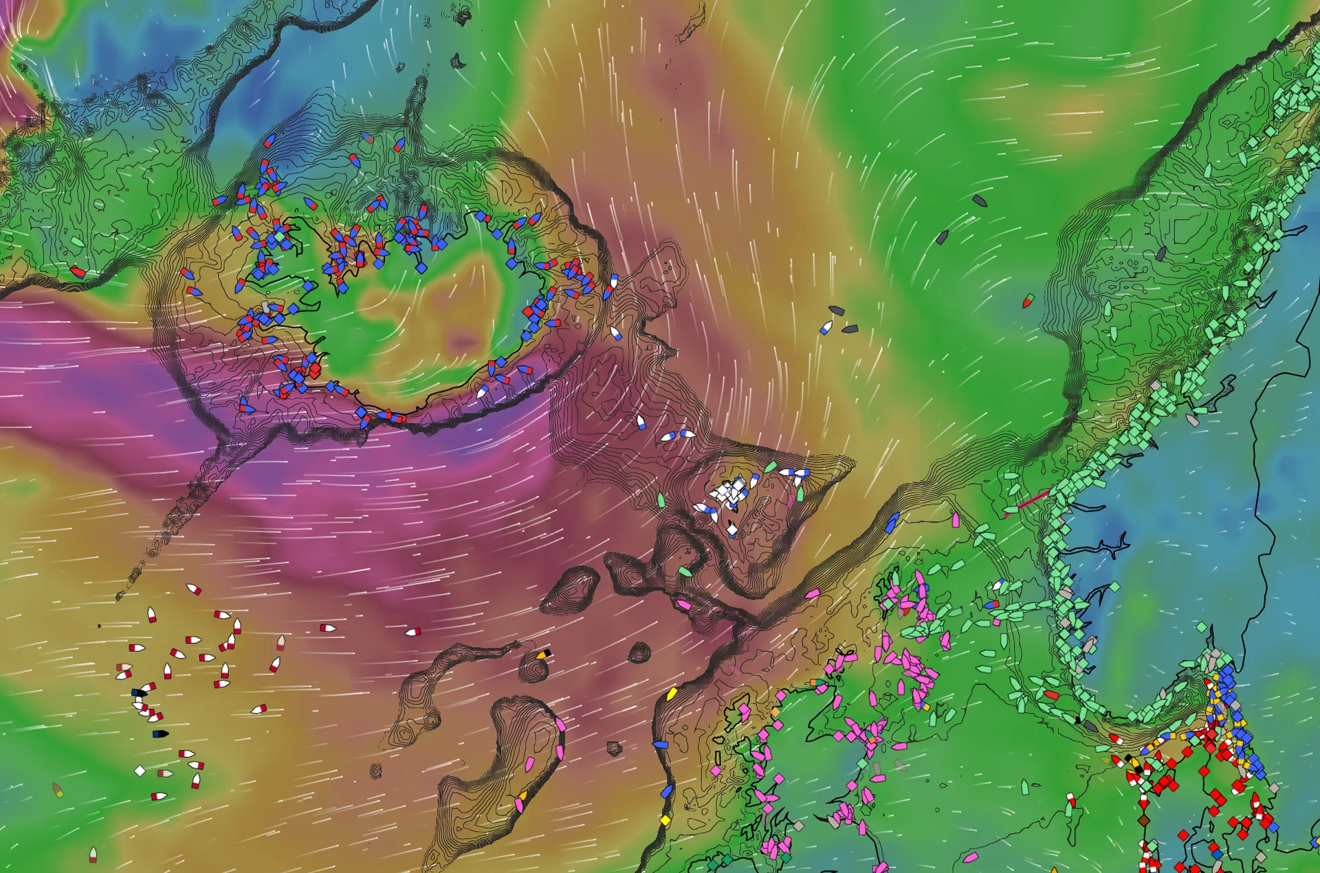
Precise weather forecasts
See wind, waves and currents now and several days ahead.
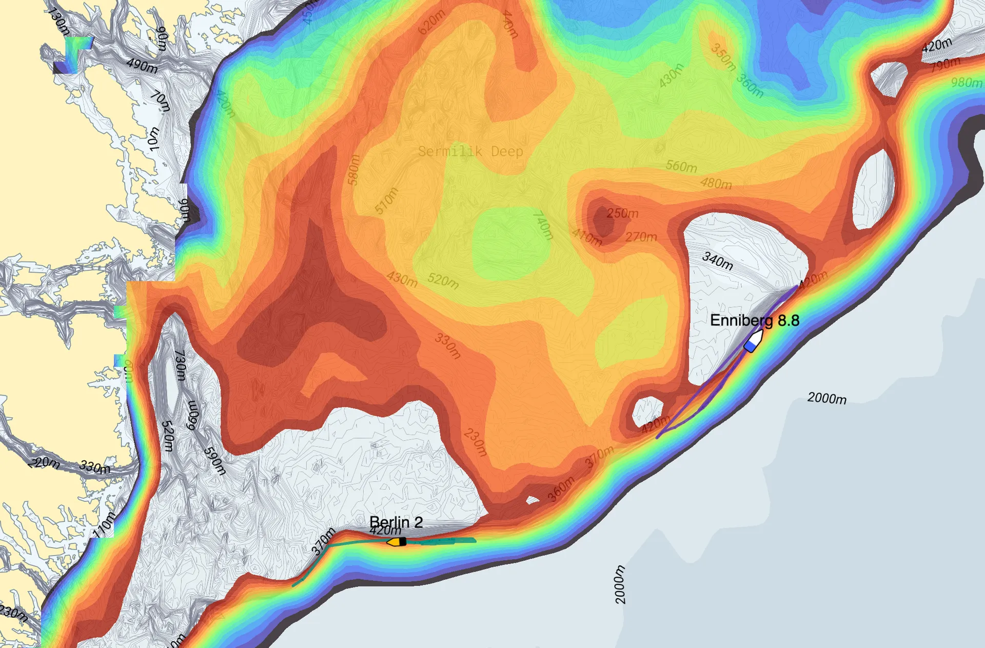
Find temperature-sensitive species using bottom temperature data
Analyze ocean conditions where fish thrive using AI.
See bottom temperature, currents and zooplankton.
Find areas where the conditions are right for your target species and size.
The Numbers
Documented Results, Backed by Data
We analyzed 69 vessels before and after they became customers, compared to similar vessels in the same period. On average, we observe a +5.8 percentage point improvement in efficiency. The analysis includes 69 vessels and 3,846 trips – the pattern is statistically robust.
Catchwise has become an important tool in my daily operations. Artificial intelligence gives us better decision-making foundations, saves time, and contributes to more sustainable fishing. Catchwise is forward-thinking and innovative, showing how technology can make a real difference in modern fisheries.
Per William Lie
Skipper and Ship Owner, Liegruppen
10/10 - Intuitive, innovative and practical. Easy to practice for all generations.
Kyrre Flemming Nilsen
Manager of Skjongholm
These numbers don't show that Catchwise alone creates the difference – fishing is affected by weather, quotas, and most importantly, the skippers' own decisions. But the pattern is consistent with the feedback we receive: access to historical catch data, AIS, and weather combined helps skippers make faster, more confident decisions.
What's new in Catchwise?
We continuously improve Catchwise to give you the best possible fishing experience at sea.
14. januar 2026
14. januar 2026
What the papers say about Catchwise
Catchwise in the media
Want to try Catchwise on your next trip?
Start a 14-day free trial and see if using catch, AIS and ocean data helps your next trip – no analyst needed.
